About Drone Survey Services
Professional Drone Surveys. No Compromise.
Founded in 2016, we've built our reputation on one principle: delivering survey-grade drone data that professionals can actually use. No hobbyist shortcuts. No unusable datasets. Just precision results, every time.
Response within 2 hours • Or call 020 4634 0456
Since 2016
Delivering Excellence
Our Story
Founded by an Engineer. Built for Professionals.
Drone Survey Services was founded by James Leslie, a Royal Air Force engineer turned international engineering project manager. After years of working on complex infrastructure projects, James saw first-hand how poor-quality drone data was costing companies time and money.
The problem was clear: too many "drone operators" were hobbyists with consumer equipment and zero understanding of surveying principles. Companies were paying for professional surveys and receiving datasets they couldn't use.
James combined his engineering background with professional drone pilot certification (GVC) to build a company focused on one thing: delivering survey-grade data that actually works. Today, with bases in Dundee and London, we serve clients across the UK who demand precision.
Trusted by leading organisations:
The Problem
Why Companies Are Fed Up With "Drone Operators"
The market is flooded with hobbyists calling themselves professionals. Here's what companies are tired of dealing with:
Unusable Datasets
Hobbyist pilots deliver data that doesn't meet survey standards - wrong coordinate systems, poor accuracy, no ground control.
Consumer Equipment
DJI Minis and consumer drones lack the RTK GPS, sensor quality, and reliability needed for professional survey work.
No Survey Knowledge
Flying a drone is easy. Understanding photogrammetry, GCPs, coordinate systems, and deliverable requirements is not.
Our Solution
Professional Kit. Professional Results. Guaranteed.
Survey-Grade GPS
RTK/PPK positioning for ±2cm accuracy on every project.
Enterprise Equipment
Matrice 300/350, Zenmuse P1, LiDAR sensors - professional kit for professional results.
In-House Geospatial Team
Qualified surveyors process your data, not just pilots.
Custom Deliverables
Any format, any coordinate system, any software integration.
Enterprise Equipment
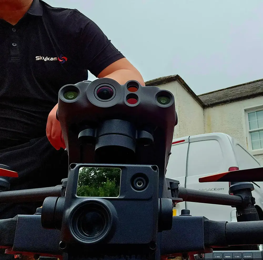
Survey-Grade Drone Fleet
We don't use consumer mini drones like other providers. Our fleet consists of industrial, survey-grade aircraft purpose-built for capturing detailed, accurate datasets.

AgEagle eBee X
Professional fixed-wing for rapid terrain coverage

DJI Matrice 400
Engineered for excellence, designed for versatility

WingtraOne GEN II
Best-in-class surveying efficiency for large projects

DJI Matrice 350 RTK
Professional multi-payload platform for precision surveying

DJI Mavic 4E
Portable surveying powerhouse with RTK precision

DJI Matrice 4E
Precision survey drone with oblique capture
Our Track Record
Numbers That Speak for Themselves
500+
Projects Completed
8+
Years Experience
98%
Client Satisfaction
2hr
Response Time
As Featured In
Recognised by Media & Academia
Our expertise in professional drone surveying has been featured across national news and industry publications. Our work has been cited in research by Harvard University and the Scottish Government.
Cited in academic research: Harvard University • Scottish Government
UK Coverage
Two Bases. Nationwide Service.
With operational bases in Dundee and London, we provide rapid response to projects across the entire UK. From the Scottish Highlands to the South Coast, our team delivers the same professional standards everywhere.
Scotland & Northern England
South East & Midlands
- Scotland & Northern England
- Midlands & Wales
- South East & London
- South West & East Anglia

500+ projects completed across the UK
Trusted & Certified
Industry Accreditations
Maintaining the highest standards of safety, quality, and compliance.
Fully Insured
£10M Public Liability
Comprehensive coverage for all commercial drone operations.
CAA Approved
GVC & A2 CofC Certified
Full compliance with UK aviation regulations and safety standards.
Professional Indemnity
PI Insurance
Protecting your project investments and deliverables.
Our Certifications & Memberships


