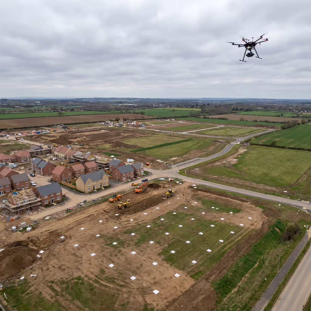
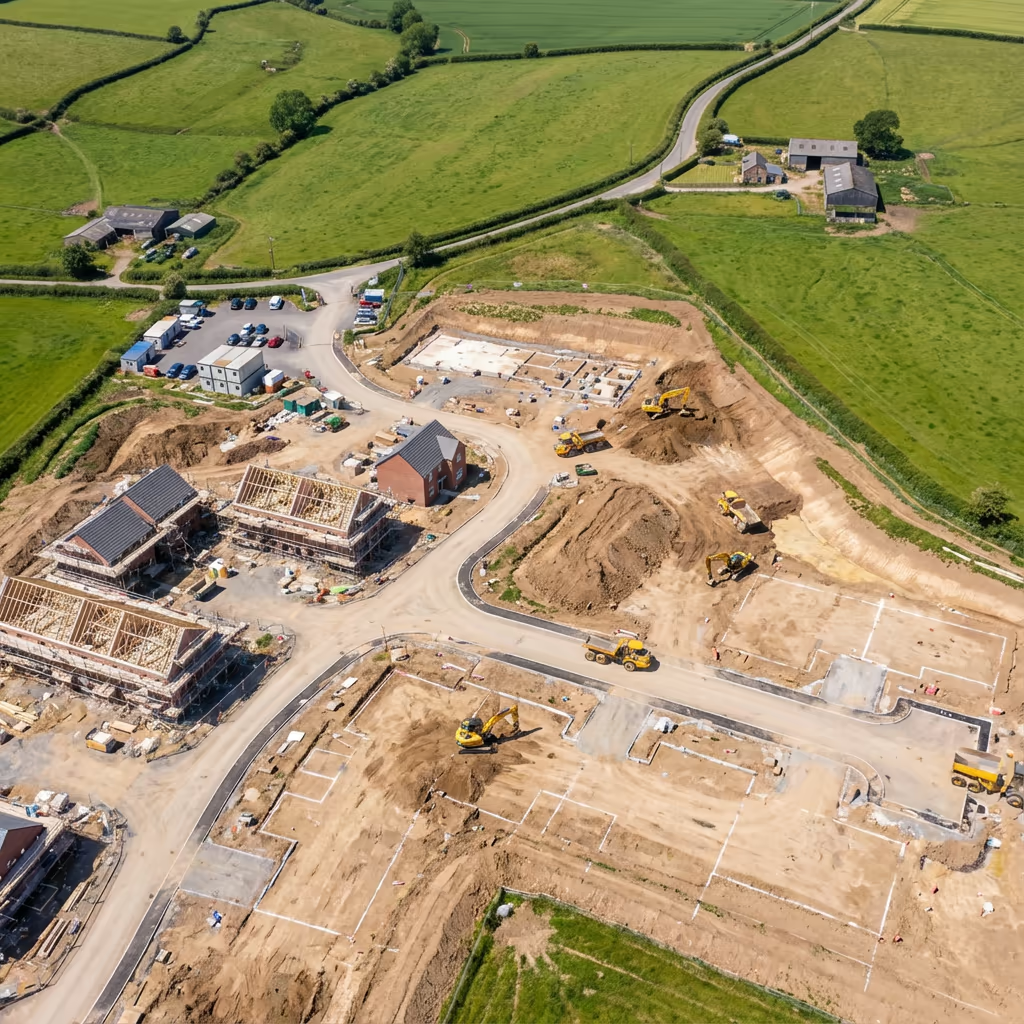
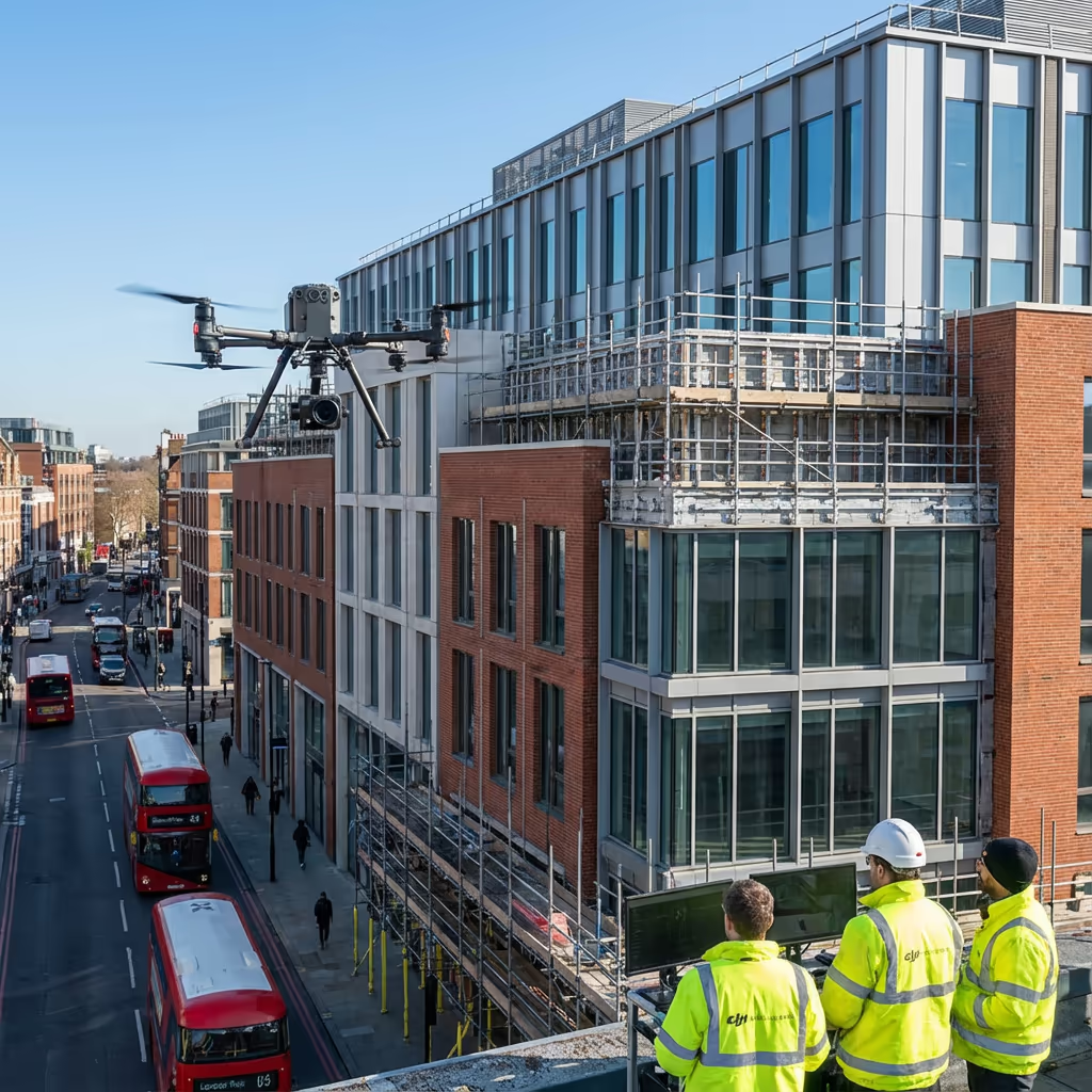
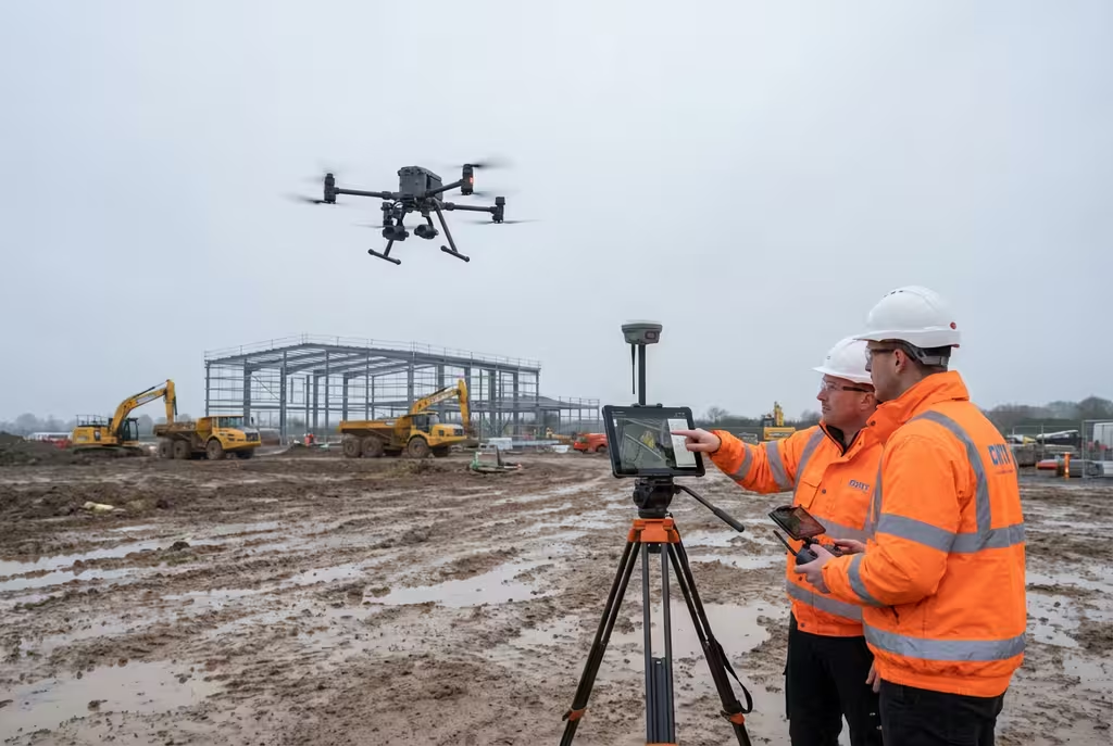
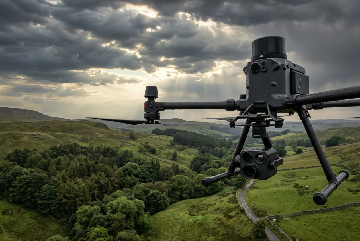
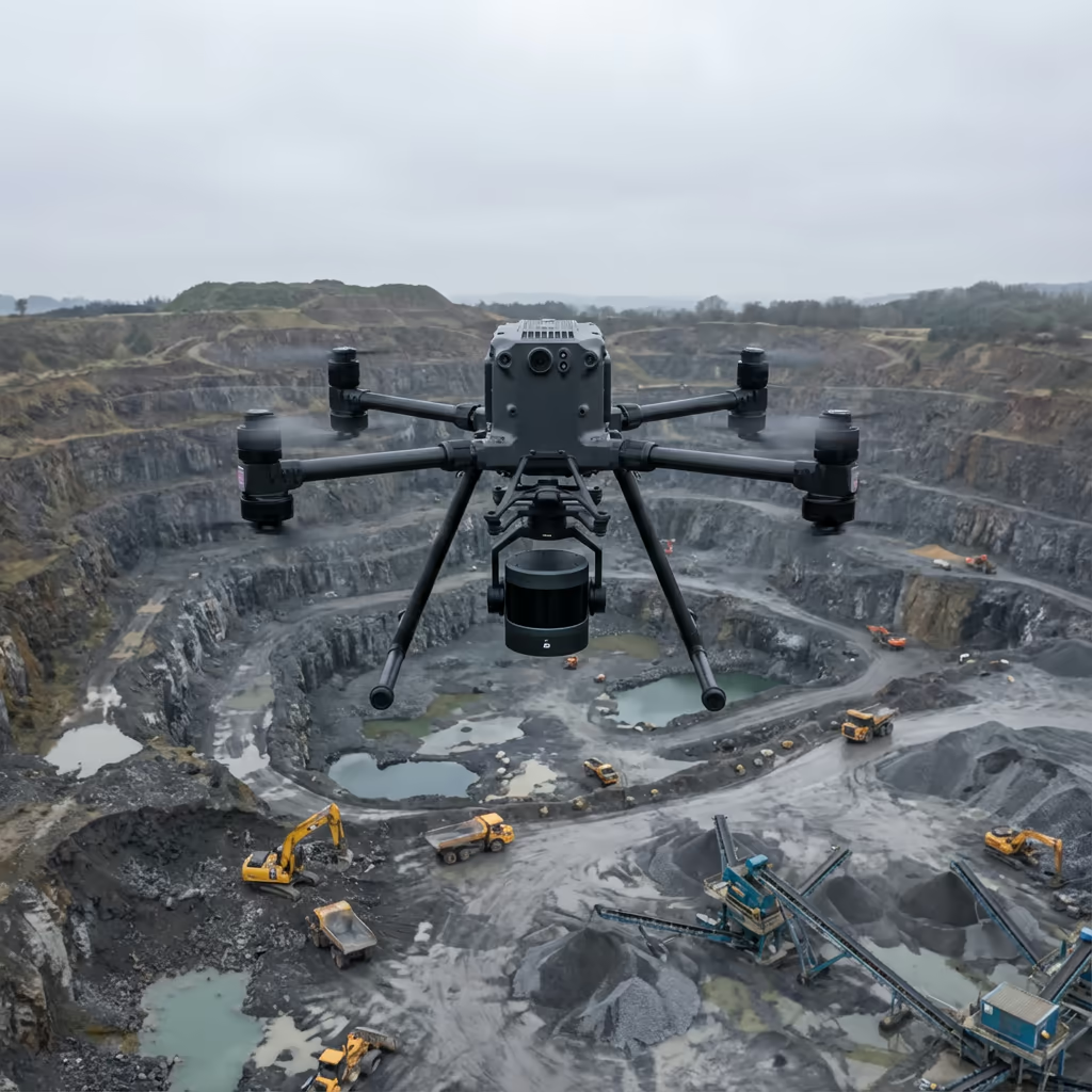
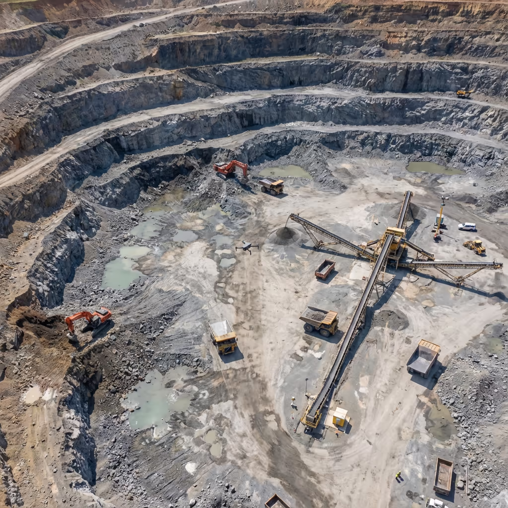
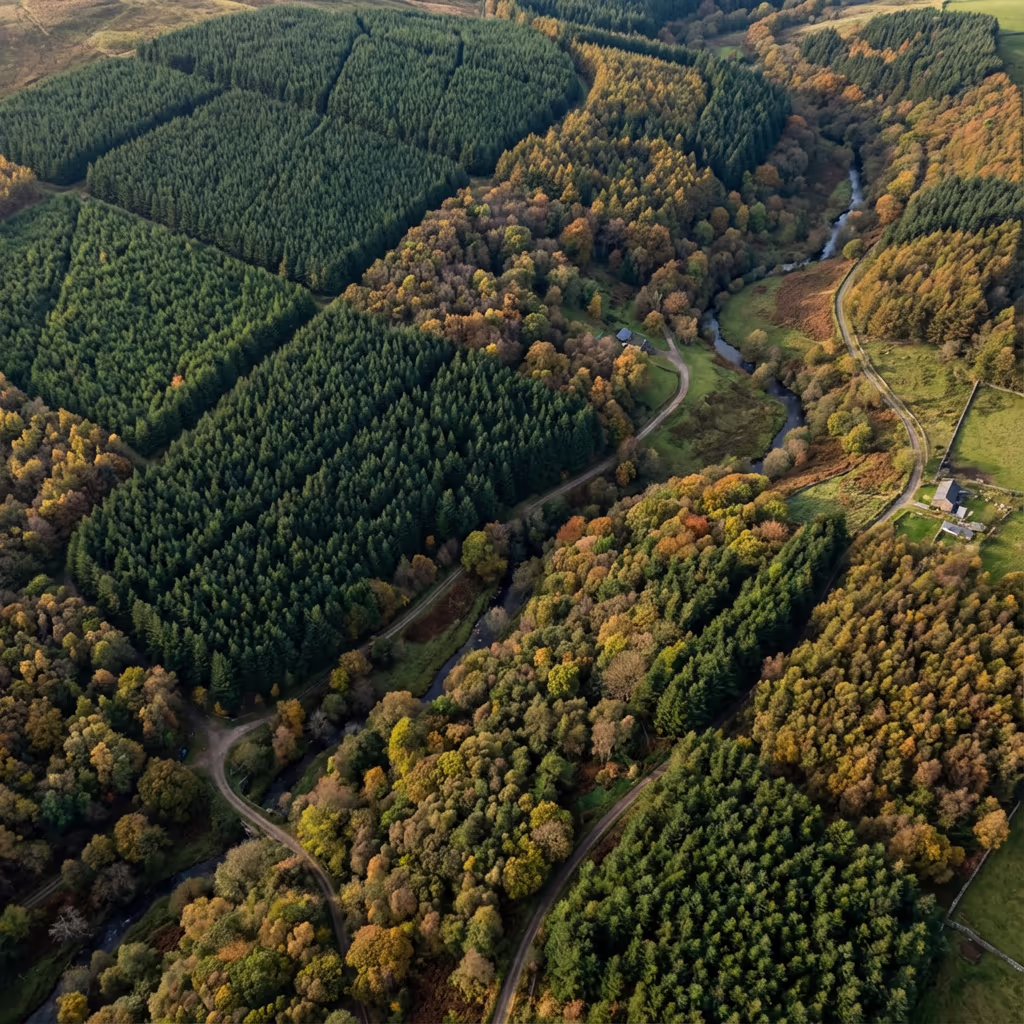
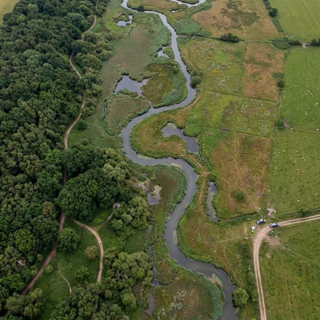
UK-Wide Drone Survey Services
Drone SurveyServices
AboutResourcesContact
Professional drone survey services across the UK

Our Services

Professional Drone Services

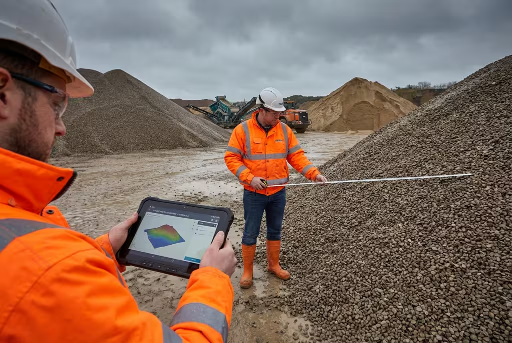
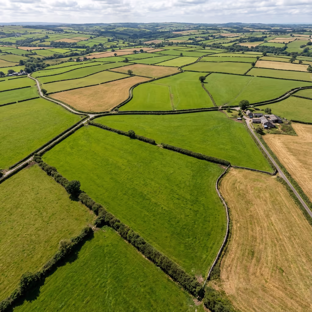
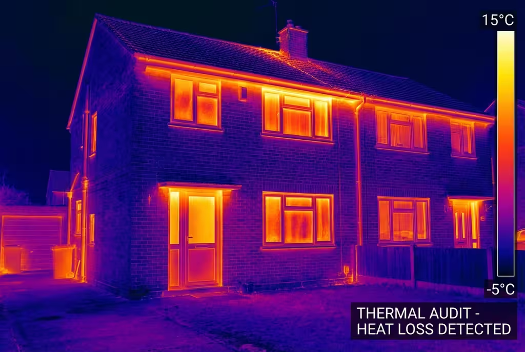
Comprehensive aerial survey solutions for construction, infrastructure, and land management projects across the UK.

Contact Us

Response within 2 hours • Or call 020 4634 0456

Surveying & Mapping

Surveying & Mapping Services

Drone Survey - Professional drone survey service in the UK

Drone Survey

Comprehensive aerial surveys delivering precise topographic data and 3D models.

Read More
LiDAR Mapping - Professional drone survey service in the UK

LiDAR Mapping

Precision LiDAR scanning for detailed terrain models and vegetation analysis.

Read More
Topographic Survey - Professional drone survey service in the UK

Topographic Survey

Detailed topographic surveys for planning, design and construction projects.

Read More
Construction Progress Monitoring - Professional drone survey service in the UK

Construction Progress Monitoring

Regular aerial surveys tracking construction progress and site changes.

Read More
Volumetric Analysis - Professional drone survey service in the UK

Volumetric Analysis

Accurate stockpile measurements and cut/fill calculations from aerial data.

Read More
Drone Topographic Survey - Professional drone survey service in the UK

Drone Topographic Survey

Precise aerial topographic surveys delivering detailed terrain models, contour maps, and elevation data for planning and design.

Read More
Drone Photogrammetry Survey - Professional drone survey service in the UK

Drone Photogrammetry Survey

High-accuracy photogrammetric surveys creating detailed 3D models, orthomosaics, and point clouds from aerial imagery.

Read More
Drone Volumetric Survey - Professional drone survey service in the UK

Drone Volumetric Survey

Accurate stockpile measurements and volume calculations for quarries, construction sites, and waste management facilities.

Read More
Drone Construction Monitoring - Professional drone survey service in the UK

Drone Construction Monitoring

Regular aerial surveys tracking construction progress, documenting site changes, and supporting project management.

Read More
Drone Site Survey - Professional drone survey service in the UK

Drone Site Survey

Comprehensive site surveys providing detailed aerial imagery and mapping data for planning and development projects.

Read More
Drone Land Survey - Professional drone survey service in the UK

Drone Land Survey

Professional land surveys capturing terrain data, boundary information, and detailed site documentation.

Read More
Drone Elevation Survey - Professional drone survey service in the UK

Drone Elevation Survey

High-precision elevation surveys producing accurate height data, DEMs, and contour mapping for engineering projects.

Read More
Drone Corridor Mapping - Professional drone survey service in the UK

Drone Corridor Mapping

Efficient linear corridor surveys for pipelines, power lines, roads, and railway infrastructure projects.

Read More
Drone Boundary Survey - Professional drone survey service in the UK

Drone Boundary Survey

Accurate boundary surveys providing precise property line data and demarcation for legal and planning purposes.

Read More
Drone Estate Survey - Professional drone survey service in the UK

Drone Estate Survey

Comprehensive estate surveys capturing detailed aerial imagery and mapping for property management and valuation.

Read More

Inspection Services

Inspection Services Services

Thermal Imaging - Professional drone survey service in the UK

Thermal Imaging

Thermal drone inspections for building diagnostics and energy audits.

Read More
Building Inspection - Professional drone survey service in the UK

Building Inspection

Safe, efficient building and roof inspections using drone technology.

Read More
Drone Roof Survey - Professional drone survey service in the UK

Drone Roof Survey

Safe, detailed aerial roof inspections without scaffolding. High-resolution imagery and thermal analysis for condition assessments.

Read More
Drone Facade Survey - Professional drone survey service in the UK

Drone Facade Survey

Detailed building facade inspections capturing high-resolution imagery for condition assessment and maintenance planning.

Read More
Drone Bridge Inspection - Professional drone survey service in the UK

Drone Bridge Inspection

Safe and efficient bridge inspections using drones, eliminating traffic closures and providing detailed structural imagery.

Read More
Drone Industrial Survey - Professional drone survey service in the UK

Drone Industrial Survey

Industrial facility inspections and surveys covering manufacturing plants, refineries, and processing facilities.

Read More

Infrastructure

Infrastructure Services

Drone Road Survey - Professional drone survey service in the UK

Drone Road Survey

Highway and road corridor surveys providing detailed mapping, condition assessment, and planning data.

Read More
Drone Railway Survey - Professional drone survey service in the UK

Drone Railway Survey

Rail corridor surveys for infrastructure assessment, vegetation management, and network planning.

Read More
Drone Utility Survey - Professional drone survey service in the UK

Drone Utility Survey

Utility infrastructure surveys covering power lines, substations, and distribution networks.

Read More
Drone Solar Farm Survey - Professional drone survey service in the UK

Drone Solar Farm Survey

Solar farm inspections using thermal and visual imagery to identify faulty panels and optimise performance.

Read More
Drone Wind Farm Survey - Professional drone survey service in the UK

Drone Wind Farm Survey

Wind turbine inspections providing detailed blade and tower assessments without costly downtime.

Read More

Environmental & Land

Environmental & Land Services

Drone Coastal Survey - Professional drone survey service in the UK

Drone Coastal Survey

Coastal monitoring and erosion surveys providing accurate data for coastal management and environmental assessment.

Read More
Drone Landfill Survey - Professional drone survey service in the UK

Drone Landfill Survey

Landfill site surveys for volumetric analysis, cell planning, and environmental compliance monitoring.

Read More
Drone Mining Survey - Professional drone survey service in the UK

Drone Mining Survey

Mining and quarry surveys providing stockpile measurements, pit mapping, and progress monitoring.

Read More
Drone Agricultural Survey - Professional drone survey service in the UK

Drone Agricultural Survey

Agricultural surveys using multispectral imaging for crop health monitoring, field mapping, and precision farming.

Read More
Drone Flood Risk Survey - Professional drone survey service in the UK

Drone Flood Risk Survey

Flood risk assessment surveys providing terrain data for flood modelling and drainage planning.

Read More
Drone Forestry Survey - Professional drone survey service in the UK

Drone Forestry Survey

Forestry surveys for woodland mapping, tree counts, canopy analysis, and timber volume estimation.

Read More

Photography & Video

Photography & Video Services

Aerial Photography - Professional drone survey service in the UK

Aerial Photography

High-resolution aerial imagery for marketing, documentation and analysis.

Read More

Specialist Services

Specialist Services Services

Drone Environmental Survey - Professional drone survey service in the UK

Drone Environmental Survey

Comprehensive aerial surveys for habitat mapping, vegetation classification, and ecological baseline assessments.

Read More
Drone Setting Out Survey - Professional drone survey service in the UK

Drone Setting Out Survey

Precision setting out surveys for construction projects, ensuring accurate positioning of buildings and infrastructure.

Read More
Drone As-Built Survey - Professional drone survey service in the UK

Drone As-Built Survey

As-built surveys documenting completed construction for verification against design specifications.

Read More
Drone Measured Building Survey - Professional drone survey service in the UK

Drone Measured Building Survey

Detailed measured building surveys combining aerial and ground data for accurate floor plans and elevations.

Read More
Drone Archaeological Survey - Professional drone survey service in the UK

Drone Archaeological Survey

Archaeological site surveys using photogrammetry and multispectral imaging to reveal hidden features and document sites.

Read More

Why Choose Us

The Drone Survey Services Advantage

Precision

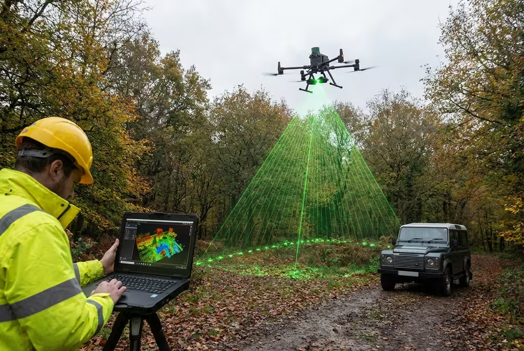
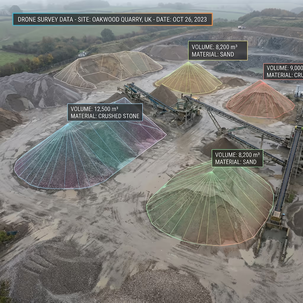
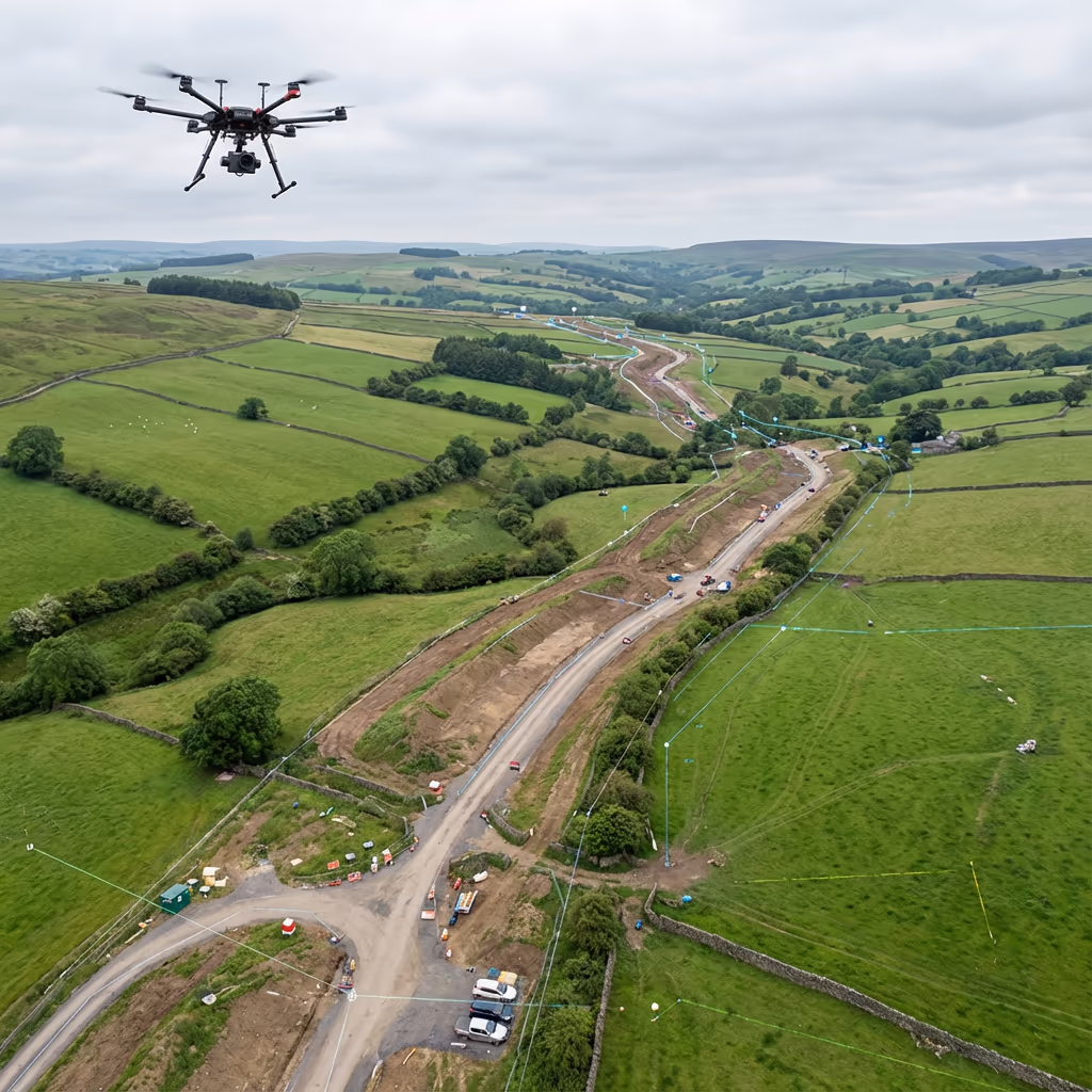
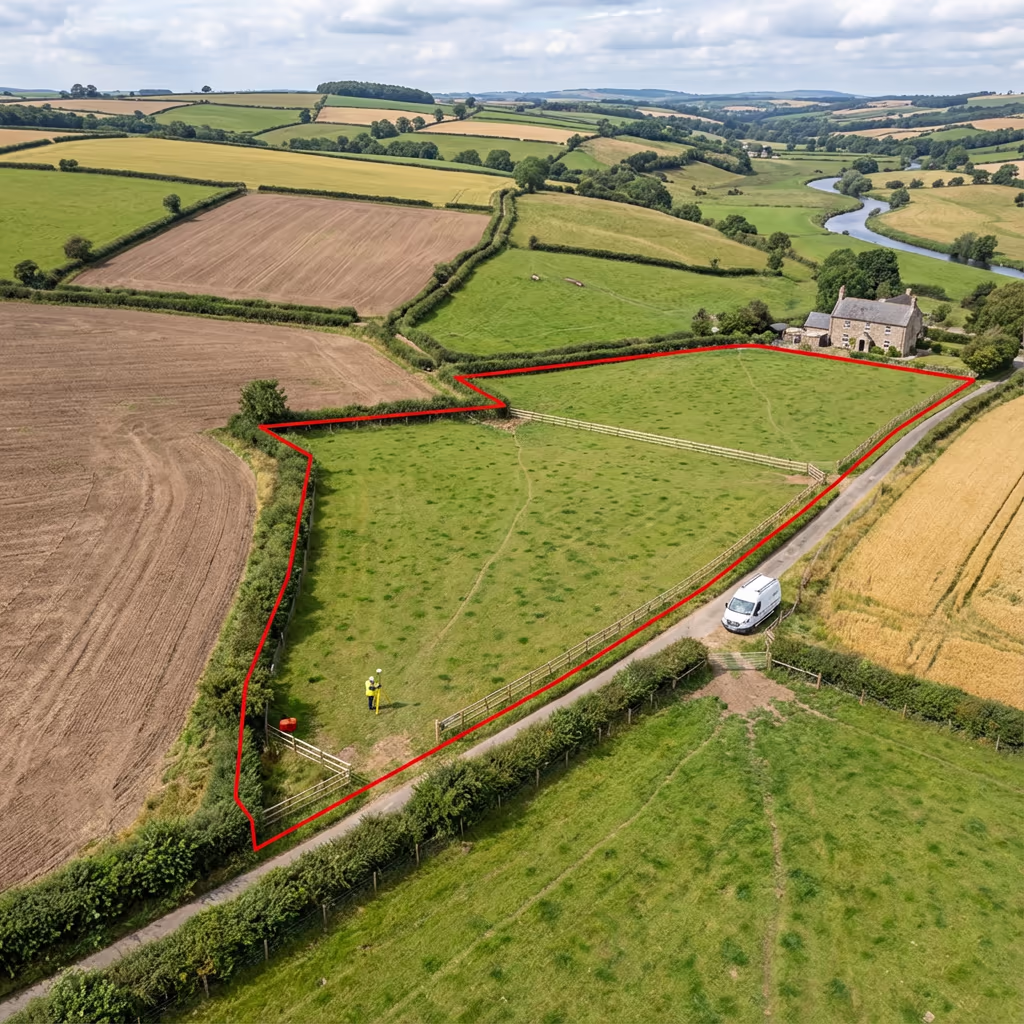
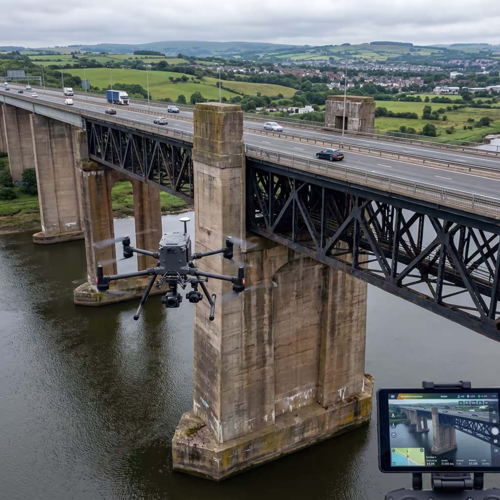
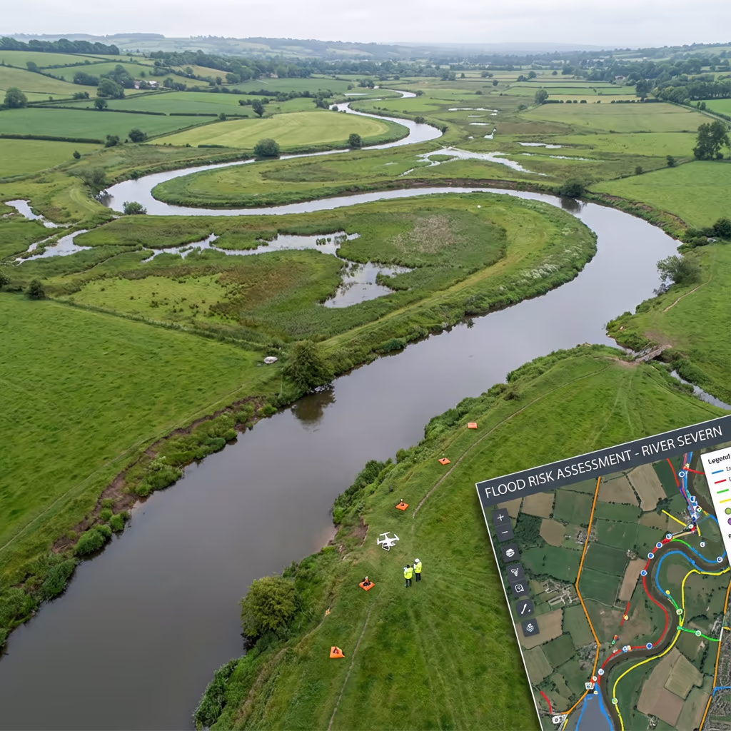
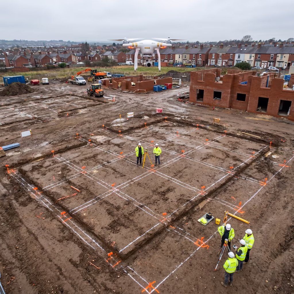
High-accuracy data capture with ±2-5cm precision using RTK/PPK technology.

Speed

Complete surveys in a fraction of the time compared to traditional methods.

Safety

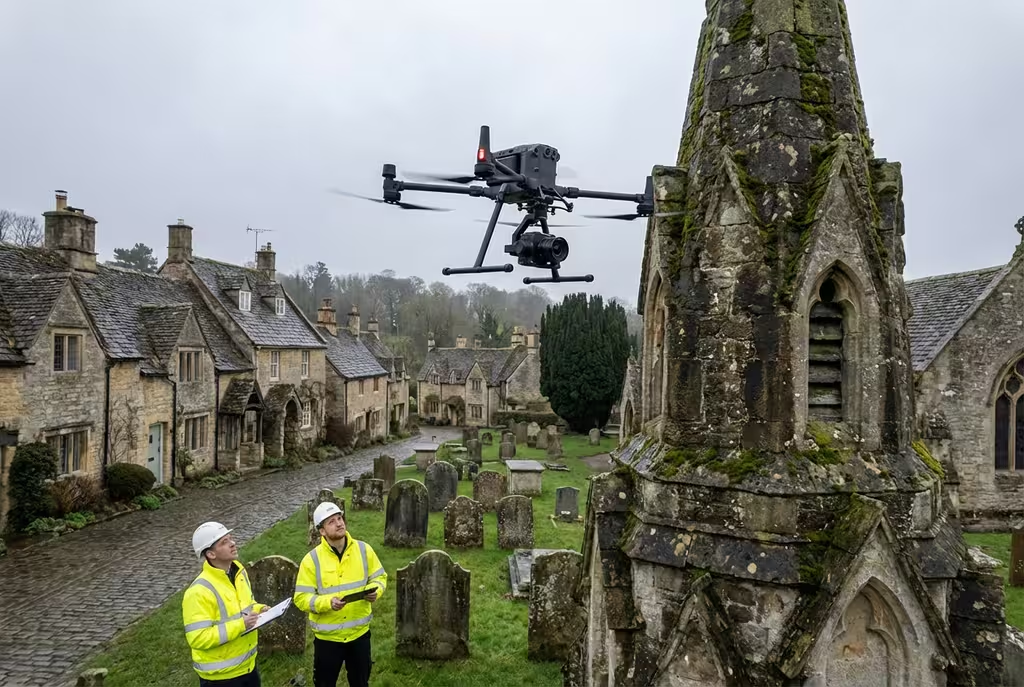
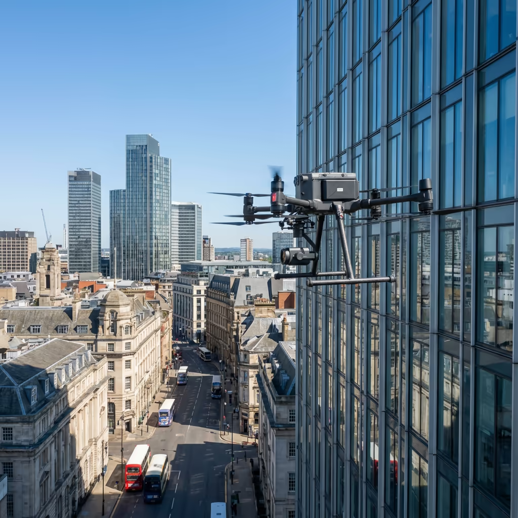
Eliminate working-at-height risks with CAA-approved drone operations.

Value

Cost-effective solutions delivering 40-60% savings on typical survey projects.

Get Started

Request a Free Quote

Tell us about your project and we'll provide a tailored quote within 24 hours.

  • Free no-obligation quote
  • Response within 2 hours
  • Expert consultation included

Get Your Free Drone Survey Quote

Get a free quote for your drone survey requirements

2hr Response
No Obligation
Free Quote
We're Online
020 4634 0456