Photography & Video
Aerial Photography
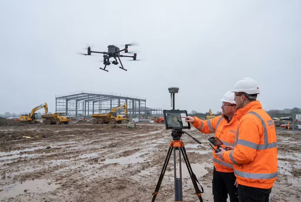
High-resolution aerial imagery for marketing, documentation and analysis.
Overview
Professional aerial photography services capturing stunning high-resolution images from unique perspectives. Our experienced drone pilots use professional-grade cameras to deliver exceptional quality imagery for marketing, documentation, progress monitoring, and analysis purposes.
Key Features
- Ultra-high resolution imagery
- Professional-grade cameras
- RAW and processed formats
- Oblique and nadir capture
- Post-processing included
Applications
- Property marketing
- Construction progress documentation
- Event coverage
- Estate photography
- Tourism marketing
Deliverables
- High-resolution JPEG images
- RAW files on request
- Edited and colour-corrected images
- Panoramic stitched images
- Print-ready files
Ready to get started?
Contact us for a free consultation and quote for your aerial photography project.
Common Questions
Aerial Photography FAQs
We use professional-grade drone cameras including the DJI Zenmuse series and Hasselblad cameras, capable of capturing images up to 100MP resolution.
We require dry conditions with wind speeds below 25mph for safe operations. We monitor weather closely and will reschedule if conditions aren't suitable to ensure the best quality results.
Client Feedback
What Our Clients Say
Client Testimonials
Why Clients Rate Our Drone Survey Service 5 Stars
Don't just take our word for it. Here's what industry professionals say about working with us.
“By far the best drone surveying company I've used. Responsive, helpful and report quality is spot on. Extremely diligent in highlighting defects outside of scope. 10+ projects completed and never disappointed.”
Mark Reynolds
Building Surveyor
“DSS's drone roof survey was brilliant. James showed me everything wrong with my roof in about 30 minutes. Quick, professional and easy to understand.”
Helen Parker
Homeowner
“Fantastic company to do business with. Been working with the DSS team since 2021 and it's been an absolute pleasure. Highly recommended.”
Robert Hughes
Property Developer
CAA Approved
Licensed commercial operators
Fully Insured
Public liability coverage
Professional Indemnity
PI insurance coverage
Get Started
Request a Aerial Photography Quote
Complete the form and our team will provide a tailored quote for your aerial photography requirements within 24 hours.
Get Your Free Drone Survey Quote
Get a free quote for your drone survey requirements